
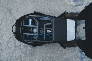
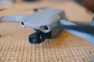
How to Store Your Drone
Discover essential tips for drone storage. Learn how to store your drone safely for optimal performance. Learn now! ...more
Questions Answered
March 14, 2024•4 min read
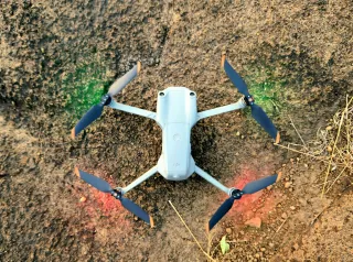
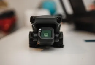
Propeller Maintenance: Essential Checks and Replacement Guide
Discover essential tips for propeller maintenance to ensure safe flights and optimal drone performance. Learn more now! ...more
Knowledge
March 08, 2024•4 min read
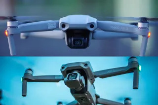
DJI Mini 3 Pro vs Mini 4 Pro: Choosing the Perfect Drone
Dive into our comparison of DJI Mini 3 Pro vs Mini 4 Pro drones. Discover which one suits your needs and budget best! ...more
Drone Comparison
March 05, 2024•7 min read

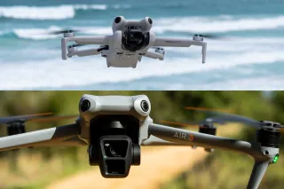
DJI Mini 4 Pro vs DJI Air 3: Which Drone Reigns Supreme?
Explore the features and differences between DJI Mini 4 Pro vs DJI Air 3. Find your perfect aerial companion today! ...more
Drone Comparison
February 27, 2024•7 min read
DJI Mini 4 Pro - How Good is the Latest DJI Drone?
Discover limitless creativity with the DJI Mini 4 Pro! Explore its advanced camera, 4K video, intelligent features, & compact design. ...more
Drone Reviews
February 13, 2024•8 min read

How Drones Transmit Video
Unlock the secrets of "How Drones Transmit Video"! Explore Wi-Fi vs. OcuSync, range, and more in our comprehensive guide! ...more
Questions Answered
February 06, 2024•8 min read

DJI Mavic Air 2 vs DJI Air 2S: Discover Aerial Superiority
Explore the ultimate drone showdown: DJI Mavic Air 2 vs DJI Air 2S. Uncover detailed comparisons and choose your perfect airborne companion. ...more
Drone Comparison
January 30, 2024•6 min read
DJI Mavic Air 2: Unbox Adventure and Soar High
Discover the DJI Mavic Air 2: Unbox adventure, and capture the skies! Dive into aerial photography and more. Learn more now ...more
Drone Reviews
January 23, 2024•10 min read
Drone Camera Types: A Comprehensive Guide
Explore the fascinating world of drone camera types, from thermal imaging to NDVI, uncovering the best options for your aerial adventures. ...more
Knowledge
January 16, 2024•10 min read
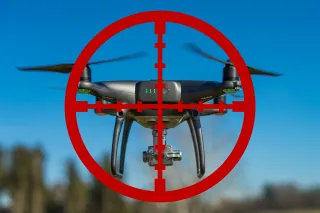
Are Drone Jammers Legal? - Legality and Implications
Explore the legality of drone jammers & the implications for privacy & safety. Are drone jammers legal? Learn more. ...more
Questions Answered
January 16, 2024•9 min read
Copyright © Drone Guide Central - All Rights Reserved 2024